Independent CBD guide
Melbourne’s centre, read as a city rather than a mall
Plan a day in the Hoddle Grid around laneways, civic rooms, the river and PTV’s Free Tram Zone. This domain is a visitor guide. It is not Melbourne Central shopping centre, and it is not an official City of Melbourne site.
This site is a rewritten visitor guide to Melbourne’s central business district — the Hoddle Grid and the lanes, gardens and river edges that attach to it. The domain name is easy to confuse with Melbourne Central, a shopping centre and railway station on the northern side of the grid. That centre is one building complex. This guide is about the wider city. It is not affiliated with the centre, with City of Melbourne, with Visit Victoria, or with Public Transport Victoria.
The useful way to read the CBD is as a walkable rectangle with a tram lattice on top. Robert Hoddle’s 1837 survey still explains why the main streets are wide, the “little” streets are narrow, and the laneways feel like a second city threaded through the first. You do not need a ranked itinerary to use that pattern. You need a spine, a wet-weather fallback, and a clear rule for tickets.
How to use this guide
Start with a question, not a shopping list.
- If you are asking how to move, open getting around and the Free Tram Zone note. Transport facts on this domain are written from PTV and Transport Victoria pages, then sent back to those pages for anything that can change — fares, maps, tap-on rules.
- If you are asking what to look at, open things to do or free things. Civic rooms (the State Library, Federation Square, the gardens) are named because they are public institutions. Cafés and bars are described as a type of place, not as a leaderboard.
- If you are asking where the city hides, open laneways. Hosier Lane, Degraves Street, Centre Place and the nineteenth-century arcades are geography, not a sponsored trail.
- If you are asking where money changes hands, open shopping or eat and drink. Those hubs explain precincts. They do not invent operators, opening hours or prices.
Whenever a sentence here and an official page disagree, the official page wins.
Country, river, grid
The CBD occupies Wurundjeri Woi-wurrung Country. The Yarra — Birrarung — is the southern edge that visitors meet at Princes Bridge, Federation Square and Southbank. Treating the river as a photo backdrop is how people miss both the cultural landscape and the practical one: wind, steps, and the fact that “Southbank” is already a different precinct with its own tram stops and cultural institutions.
North of the river, the grid is easier than it looks. Swanston Street is the civic north–south. Bourke Street is the retail east–west. Collins Street is the older commercial spine. Flinders Street is the station wall. Elizabeth, Queen, William and Spencer Streets step you west toward Docklands and Southern Cross. Spring Street holds Parliament and the Treasury reserve. You can learn those names in an hour of walking. You cannot learn live disruption from a static guide — that is PTV’s job.
What this guide will not do
It will not republish the site’s earlier lives. In the 2000s the domain carried Melbourne Centre for Financial Studies conference pages. Later it carried a parked article farm. Those pages are redirected or retired. Named people, paper titles and spam reviews from the archive are not restored.
It will not invent:
- myki or SkyBus prices
- café or bar rankings
- “secret” venues
- event line-ups
- visitor counts
- quotations
If you need a ticket, a permit, a fine explanation or a lost-property desk, you need the agency that issues those things.
A honest first afternoon
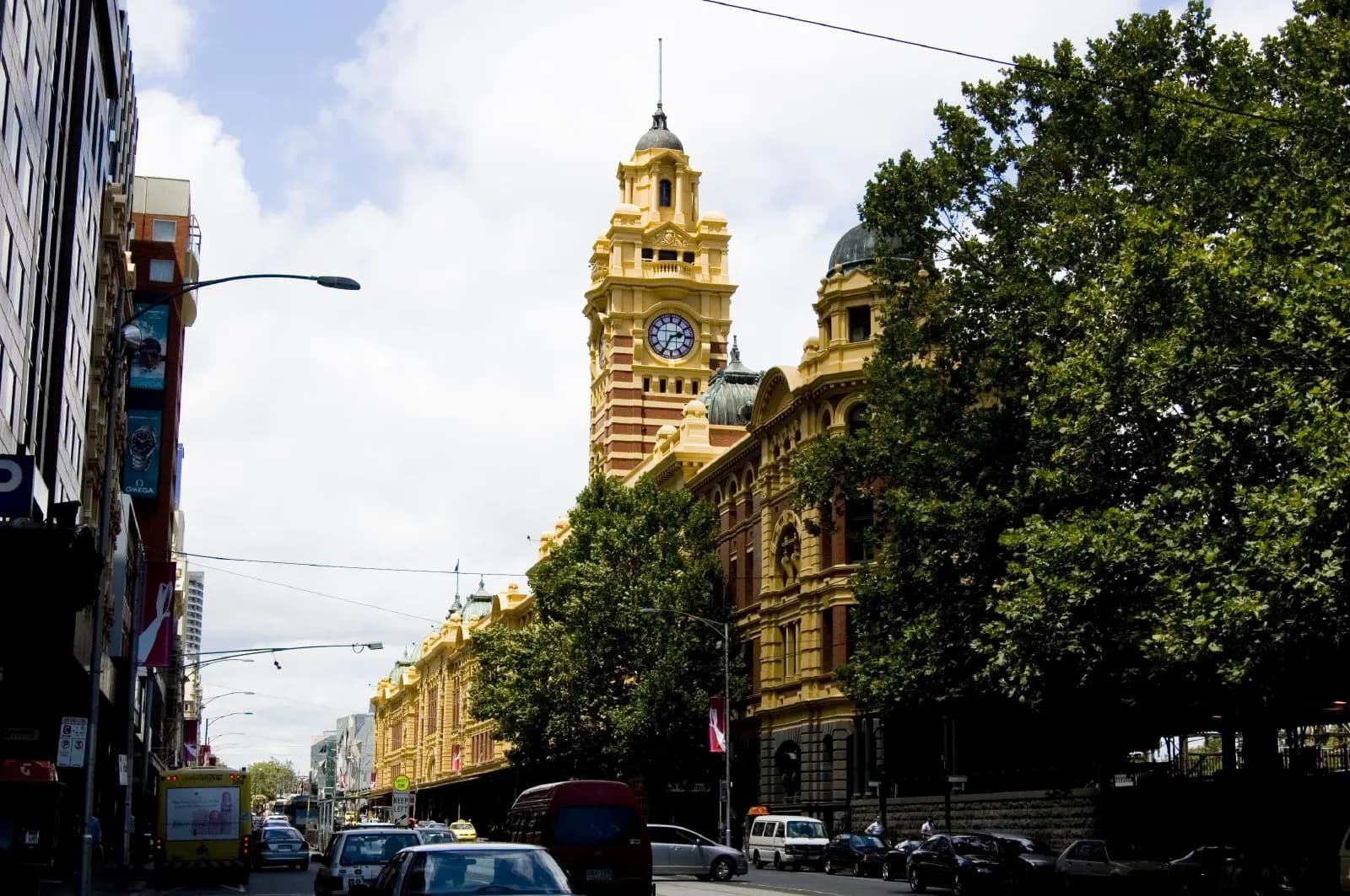
If you arrive at Southern Cross, you are already on the western edge of the Free Tram Zone as PTV draws it — confirm the current map before you assume a stop is inside. A tram along Collins or Bourke toward Spring Street puts the grid under you. If you arrive at Flinders Street, you are on the southern wall: Federation Square, St Paul’s, and the mouth of the Degraves / Centre Place lanes are a short walk, not a tour product.
From either arrival, the least fragile plan is three layers:
- One civic room — State Library Victoria on Swanston Street, or the Ian Potter Centre: NGV Australia at Federation Square. Check each institution’s own site for access on the day.
- One laneway cluster — Hosier Lane for street art that changes; the Royal and Block Arcades for nineteenth-century retail fabric. Read Hosier Lane and the arcades before you treat either as a set.
- One outdoor pause — the river terrace, Flagstaff Gardens, Treasury Gardens or the edge of the Queen Victoria Market precinct. Gardens and market days are managed by other organisations.
That is a full afternoon without a ranking.
Disambiguation, once, clearly
Search engines and taxi drivers hear “Melbourne Central” and point at the glass cone over Coop’s Shot Tower. That is a legitimate destination with its own website, station and retailers. This domain uses “Melbourne centre” in the older, geographic sense: the middle of the city. If you came here looking for store trading hours in that mall, leave this tab and use the centre’s own channels.
If you came here looking for how the CBD works — trams, lanes, libraries, the river — stay and use the hubs. Then verify the parts that can move.
At a glance
- Hoddle GridThe surveyed rectangle that most visitors mean by “the city”
- Free Tram ZonePTV’s CBD and Docklands tram area — confirm on the official map
- Wurundjeri CountryCBD streets sit on Wurundjeri Woi-wurrung land
- IndependentNot a shopping centre, council or ticket office
Start with a precinct or a practical question
Things to do
Libraries, galleries, the river, markets and the Hoddle Grid — planned as a day, not a ranking.
Laneways
Hosier Lane, Degraves, Centre Place and the heritage arcades, with official sources for art and access.
Eat & drink
How Melbourne’s coffee and laneway dining culture works — without invented venues or prices.
Shopping
Bourke Street, the 19th-century arcades and how to tell a mall from the broader CBD.
Getting around
Free Tram Zone, myki and airport buses — cited to PTV, not guessed.
Free things
Street art, gardens, reading rooms and the tram loop, with the caveats that keep a free day honest.
What people always ask
Is this website Melbourne Central shopping centre?
No. melbournecentre.com.au is an independent visitor guide to Melbourne’s CBD. Melbourne Central is a separately owned shopping centre and station complex on La Trobe and Swanston Streets. This guide does not speak for that centre, its retailers, or City of Melbourne.
Is there a free tram zone in the CBD?
Yes. Public Transport Victoria publishes a Free Tram Zone covering the central city and Docklands. If your entire tram trip stays inside that zone, PTV says you do not need a myki. If any part of the trip is outside the zone, use myki as PTV describes.
What should a first-time visitor actually do?
Choose one spine — river and Federation Square, Swanston Street civic buildings, or the laneway and arcade network — then confirm live transport on PTV. Do not treat this page as a ranked list or a ticket desk.
Who are the Traditional Owners of the CBD?
Melbourne’s centre sits on the Country of the Wurundjeri Woi-wurrung people of the Kulin Nation. Acknowledgements and cultural protocols belong with Wurundjeri Woi-wurrung Cultural Heritage Aboriginal Corporation and with the civic institutions that publish them.
Start with transport, then pick a precinct
Most wasted CBD mornings begin with a guessed tram fare or a mall mistaken for the whole city. Read the Free Tram Zone notes, then open laneways or things to do.
Getting around the CBD